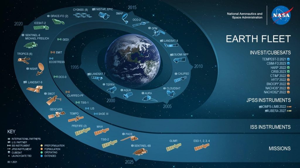
Space technology will help us to monitor Earth’s conditions more closely. We are facing up with climate change and NASA has planned 4 missions within the Earth Science Division, which will start in 2022. CubeSat satellites will be used in various areas and will make it possible to collect fundamental data that can then be used to make key decisions to safeguard the health of our planet.
The first mission is called Tropics (Time-Resolved Observations of Precipitation Structure and Storm Intensity with a Constellation of SmallSats) made of 6 small satellites that will be launched in March on an Astra Space carrier. A small groundbreaking satellite for the mission was already launched last June with a SpaceX Transporter-2 rocket for instrument testing, communications and data processing. Once operational, the Tropics mission will provide data on the meteorological situation every 60 minutes instead of the 4 hours required to the satellites of the Nation Oceanic and Atmospheric Administration, thus allowing the location and movements of hurricanes to be tracked and monitored more exactly. In this way, more precise forecasts will be guaranteed, allowing the territories involved to be assisted in advance and to better manage natural disasters.
The second mission is called Emit (Earth Surface Mineral Dust Source Investigation), a module that is going to be installed in May 2022 on a platform set up outside the International Space Station. The purpose of Emit is to collect data to better understand the phenomena of heating and cooling of mineral powders on Earth. Raised by arid regions’ strong winds, the powders go into the atmosphere absorbing or dispersing radiation and playing a role in the formation of both clouds and snowfall. Emit is going to help understand the already known links that exist between these phenomena and mineral powders.
The third mission is called Noaa, it will be the second satellite of the Joint Polar Satellite System and will be launched in September with the United Launch Alliance Atlas 5 rocket from the space base in Vandenberg, California. Once launched, the satellite will be called Noaa 21 and, like its predecessors Suomi Npp and Noaa 20, it will be equipped with a radiometric detection system of visible infrared rays supplied by Ratheon, with the latest-generation microwave sounder from Northorp. Grumman and another transverse infrared sonar supplied by L3Harris Technologies.
The fourth mission on NASA’s Earth Science agenda is called Swot (Surface Water and Ocean Topography). Thanks to two radar antennas mounted on a pylon 10 meters apart, it will provide altimetric data for measurement two-dimensional water level with a spatial resolution a thousand times greater than a conventional altimeter. Furthermore, the balance between hot and cold waters will be measured, a factor that has become critical with global warming that has accelerated the water cycle by increasing the rate of atmospheric humidity and rainfall. The Swot mission will also be launched from the Vandenberg base in November, aboard a SpaceX Falcon-9 rocket.
